E-UTILITY SYSTEM
The E-Utility System is an online geospatial application, which functions as the platform for utility authorization procedures in Hungary.
The basis for the Unified Electronic Public Utility Registry System (E-Utility System) was laid out by government decree in 2013. The utility authorization procedure allows businesses or private persons to comply with relevant rules and receive permission to install utilities – gas, district heating, water, electricity, drainage, and telecommunications services – on the property where they carry out construction. The electronic public utility system unifies the procedure that has previously been divided into separate branches with each utility provider, creating a single central system where the user can submit requests and receive results based on spatial data collected from public utility providers. Under the decree, all public utility providers should register and supply data. Critical infrastructure, however, should also be registered, but information and data supply on these (i.e. military buildings, nuclear plants, high pressure hydrocarbon pipelines, national security establishments, mobile communication networks etc.) is limited due to security and safety reasons.
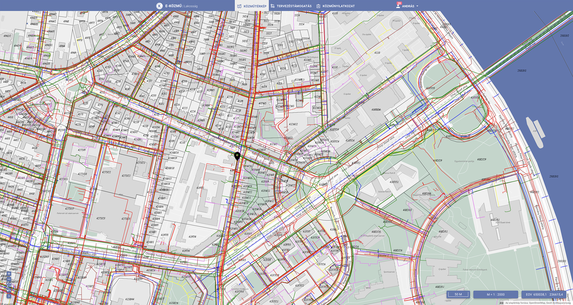
The E-Utility System now covers all branches and consists of two main parts, the information system and the public utility consultation system – this latter includes the utility statement module and the planning support module. The users of the system are public utility providers, specialized designers, planners, architects, residents, supervisory authorities, and Lechner Non-profit Ltd. as system operator.
Operation of this system affects a substantial customer base and is built on the registers owned by public utility providers, incuding information from approximately 900 electricity, hydrocarbon, water supply, drainage, telecommunication and district heating network providers. Due to the applied Web Map Service (WMS) and Web Feature Service (WFS) technologies, these data are not stored in a central database, but through web-based geospatial information services formed by public service providers. This can serve data requests of the E-Utility System real-time through online data links.
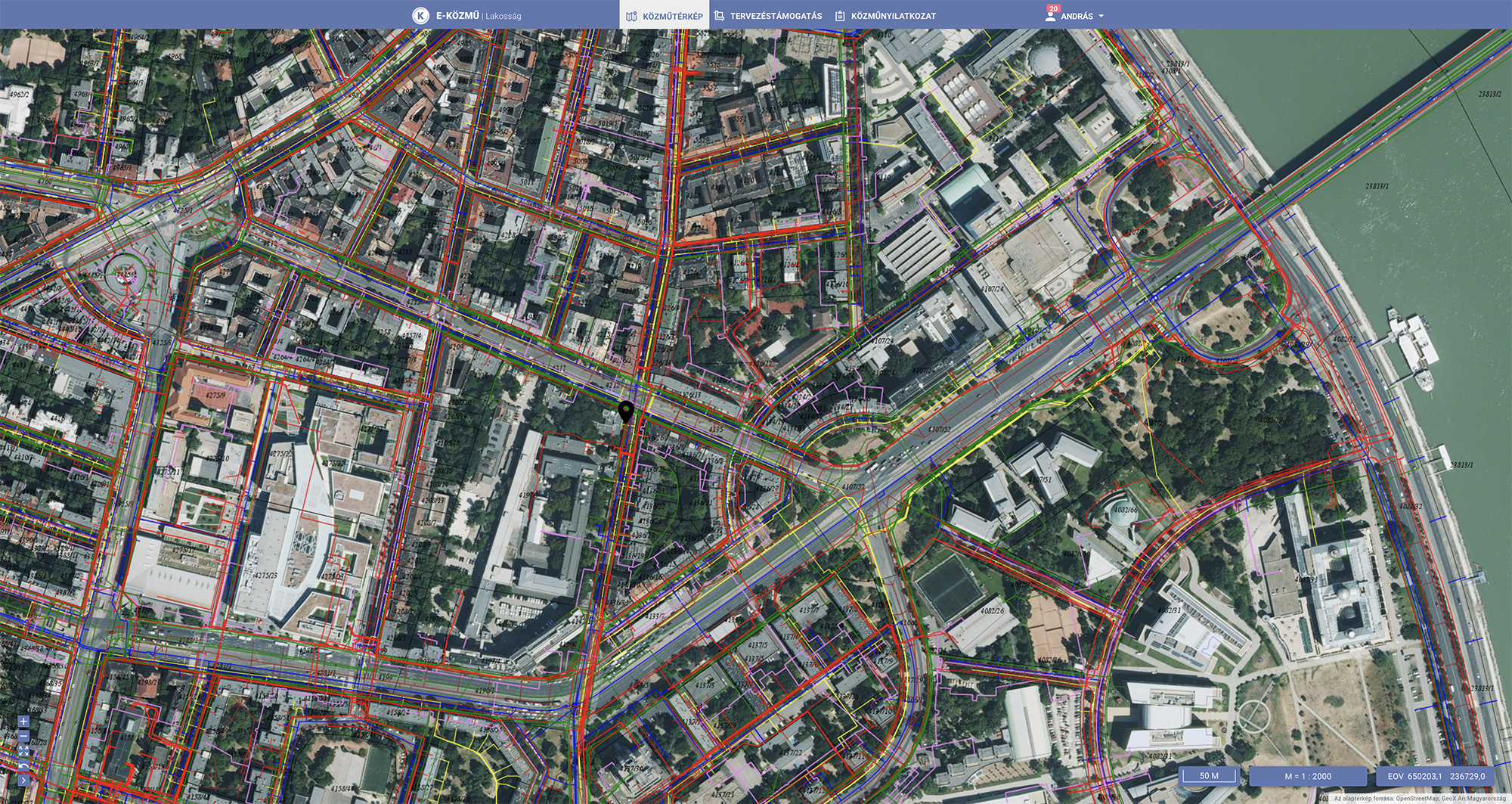
Using these services, public utility networks are shown on an Open Street Map-based interface within the E-Utility System that also incorporates basemap layers from the land registry and the National Orthophoto Database. Relevant and competent public utilities in a specific geographical area can thus be identified. The system makes public utility network vector data with attributes within planning software downloadable for planners and architects.
As a result of this development, time for clients to obtain data supporting public utility consultations and regional planning has been substantially reduced, and the support of construction investments has become more transparent and up-to-date. Public utility-related planning time has been significantly shortened, and plans are more accurate than before. The procedure management functions established within this system serve the preparation of a consolidated utility statement with mostly automated rules, significantly reducing the procedure time and making the statement available for all parties involved in the investment process (such as supervisory authorities) by providing a much faster information flow. The system is also linked with the Hungarian land register, making changes in ownership, size etc. easily traceable.