GIS
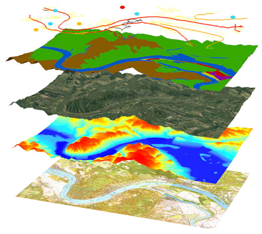
A geographic information system (GIS) offers a range of versatile tools for collecting, storing, processing, analyzing and visualizing spatial data. GIS also enables the integrated management, as well as the 2D and 3D visualization of raster and vector files in both desktop and web environments, thereby supporting the examination of spatial processes and patterns, and also spatial planning and decision-making.

Our web-based geographic information systems are not only utilized in public administration and by authorities, but also widely used by residents and businesses. We offer unique GIS solutions that cater to the sector-specific needs of our clients.