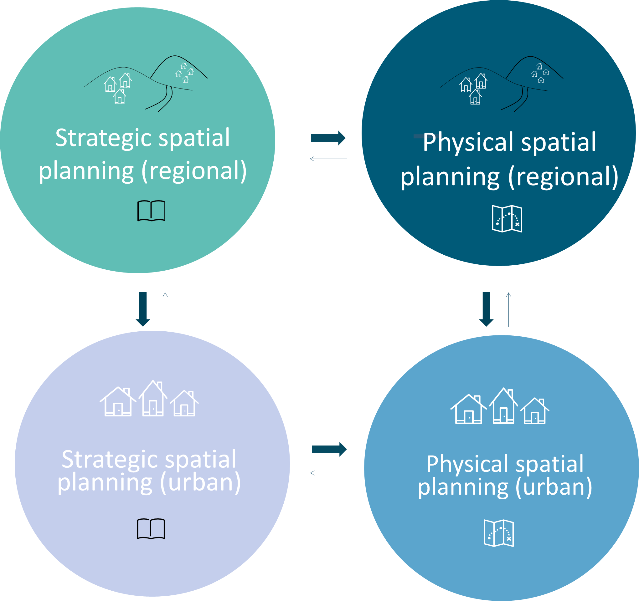
Spatial planning
Lechner Knowledge Centre carries out the task of preparing the National Spatial Plan, the Lake Balaton Priority Resort Area Spatial Plan and the Budapest Metropolitan Area Spatial Plan – which is laid down in legislation (Government Decree 218/2009 (6 October)) – on behalf of the Prime Minister’s Office. We also provide a professional background for the tasks established by the empowering provisions of „Act CXXXIX. of 2018 on National Spatial Plan and spatial plans of high priority regions” and support the compliance assurance with the National Spatial Plan at lower levels (county and municipal levels). Therefore, we are involved in the preparation of the parliamentary report on the country’s territorial processes and the maintenance of the geodatabase of the three plans among other tasks.
As a background institute to the Prime Minister’s Office our tasks also include the territorial planning of the Lake Balaton coastal area as delegated by Government Decree 283/2002 (21 December). The plan, jointly with the legislation of the Prime Minister’s Office, serves public interest by creating detailed, property-level regulations in order to preserve the values of the area.
Among our tasks related to settlements, based on Government Decree 396/2015 (12 December) we perform the contact point tasks of the URBACT European Program for urban knowledge sharing. The program, which has been in place since 2002, supports the sharing of knowledge and experience for sustainable urban development, with members of European urban networks – created by the program – working together to develop their action plans with the involvement of local social actors.
The National Regional Development and Spatial Planning Information System (TeIR) – regulated by Government Decree 31/2007 (28 February) – is also provided by the Lechner Knowledge Centre. The system, which has been running since 1998, provides thousands of data sets with the opportunity to get to know the state and territorial characteristics of society, economy, the built, landscape and natural environment, and to monitor its changes. It gives assistance to regional and sectoral actors performing development and spatial planning activities at regional and settlement level for the preparation of plans, the preparation of decisions, as well as the analysis of the effects of decisions and the performance of monitoring by continuously following changes.
Besides our aforementioned role as background institute, our activities in spatial planning include the preparation of the spatial plans of multiple counties, most recently the plans of Fejér, Győr-Moson-Sopron and Somogy Counties, commissioned by the county governments.
In addition to spatial planning, our regional expert activities include the management of (DATOURWAY, TICAD) and participation in (ESPON Atlas, ESPON Climate, IMEA)interregional projects, as well as the performance of expert tasks (EEA-EIONET) and the management of national regional research and participation.
In addition to the preparation of tasks closely related to regional planning – impact studies related to spatial planning procedures and other planning, environmental studies, Natura 2000 impact assessment documentation – we also participate in research in several special fields related to regional planning (flood protection, climate change, landscape protection, rural development). Thus, for example, in connection with landscape protection, we lead a KEHOP (Environmental and Energy Operational Programme) project, which aims at the delimitation of the landscape character on a national scale and at the uniform methodological foundation and identification of the national green infrastructure planning, and we carry out expert work in them. Our climate change vulnerability assessment and our spatial assessment of flood risk management planning required the development of a methodology in response to the new challenges of nature. Our rural development work included participation in the design and monitoring of rural development programs, assisting in the planning and implementation of local development strategies in the framework of community-led local development (LEADER and urban CLLD), and supporting rural development experts and projects in disadvantaged areas (LHH, TÁMOP/ Social Renewal Operational Programme).
Regional planning is supported by several web applications that are being developed and are already in service, so besides the aforementioned TeIR (currently under renewal), we are developing additional professional systems.
The basic concept of establishing the Electronic Spatial and Urban Planning Support System (E-TÉR) is to cover all the life cycle of spatial planning, spatial development, urban planning, settlement development plans – from the selection of the planner through planning, reconciliation, to the availability of approved plans – and thus make the widest possible web support available to all actors involved in spatial planning.
On the one hand, in order to achieve the goal in the three modules of the system under development – Information, Reconciliation, Planning – E-TÉR will make documents and information related to regional planning available.
On the other hand, it provides an interface for those involved in formal and community consultation to conduct the review process. The third task of E-TÉR is to provide designer access to GIS and other databases.
The National Development Potential Map (NFPT) is a web-based GIS application to select the ideal location for real estate investments and to support development policy decision-making. The map database displays reliable spatial data and information that will not only make it more efficient, but also easier to find a place to invest.
On the website of the Townscape Image Handbooks (TAK) builders, decision-makers and architects can find out about the collections of examples presenting the architectural values and character of settlements and certain regions, and through the Townscape Image Handbooks (TAK) and the Architectural Landscape Image Handbooks (ÉTAK), the general public can also get acquainted with the values of the country. In the future, the TAK system will also provide assistance in the preparation, coordination and display of handbooks, thus replacing the web service, currently used for the coordination of TAKs.
Our web applications supporting regional planning are being developed with the support of the European Union, co-financed by the European Social Fund, within the framework of the project entitled „Development of 3D-based data infrastructure” with the identification number KÖFOP-1.0.0-VEKOP-15-2016-00037.